Every year, unmanaged vegetation costs utilities millions in outages and maintenance. While satellites and AI promise smarter solutions, their success depends on something much more basic: accurate field data.
The energy sector is investing heavily in new technologies like satellite imagery and artificial intelligence (AI) to make vegetation and span management more effective and reliable. These tools can pinpoint risks, predict growth cycles, and optimise cutting schedules.
But there’s a catch: the accuracy of these models depends on the quality of the data they’re built on. As the saying goes, garbage in, garbage out. Even the most advanced imagery and analytics are only as good as the ground-truth data they rely on. Without it, the outputs can mislead decision-makers and undermine investments in innovation.
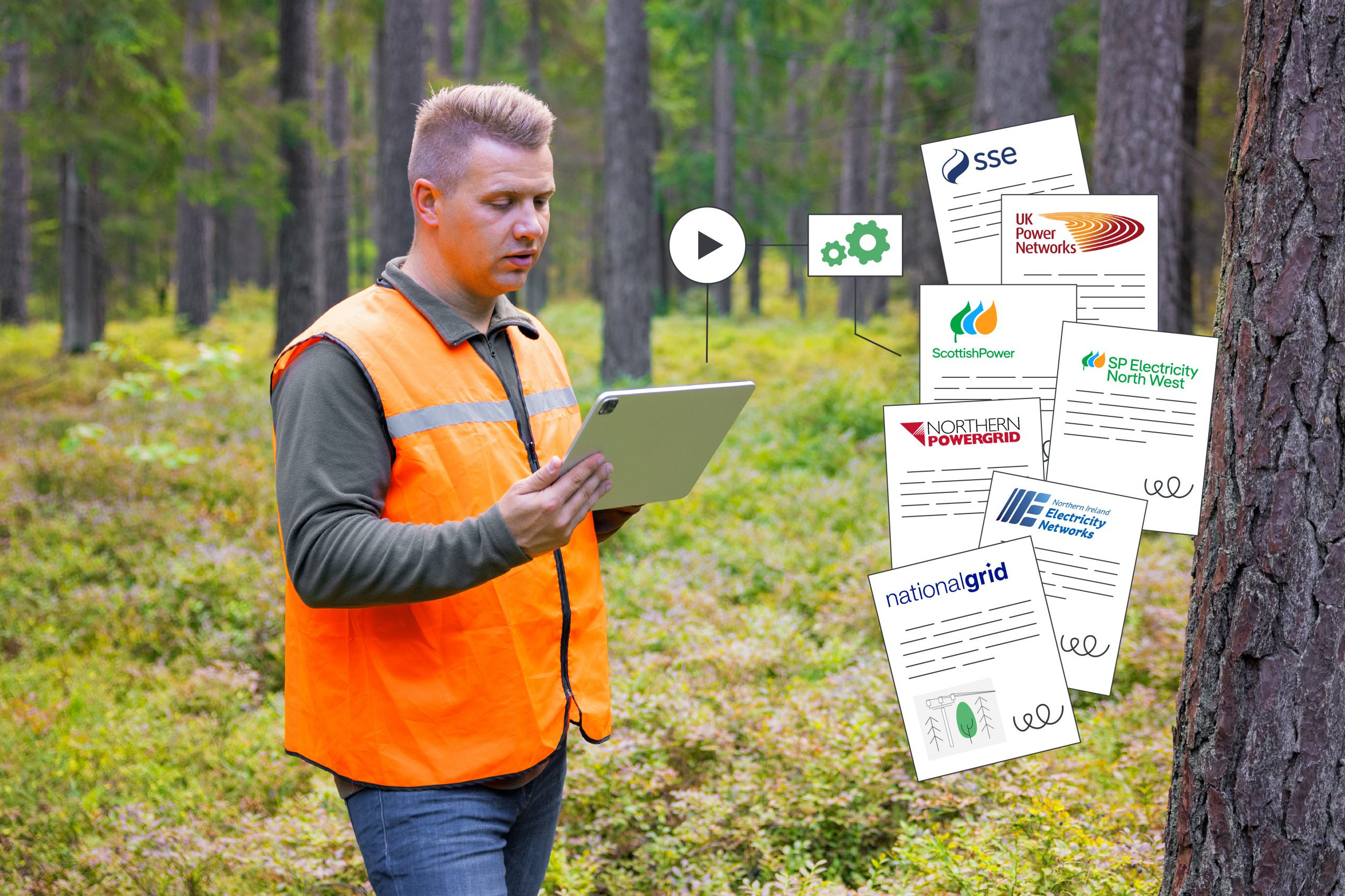
For many utilities, a significant share of vegetation management is delivered by subcontractors. While outsourcing increases flexibility and scale, it also introduces challenges:
Data captured in the field may be inconsistent across providers,
Reporting formats vary, creating gaps in oversight,
Decision-makers lack confidence that the collected data truly reflect the situation on the ground, and therefore also doubt the reliability of the derived analyses and predictions.
The result? Risk of unnecessary site visits, inefficient cutting cycles, or worse — outages that could have been prevented.
That’s why it’s critical that field teams collect complete, accurate data — but without adding unnecessary administrative burden. Crews need to focus on getting the job done safely and effectively, not wrestling with complex reporting tools.
How MightyFields Bridges the Data Gap
With over 8 years of experience working side by side with field teams, we’ve learned that generic solutions, retrofitted for vegetation management, rarely succeed. Instead, systems must be designed specifically for the field experience: intuitive, efficient, and aligned with how teams actually work.
When that happens, utilities can:
Ensure consistency across all service providers,
Build trusted, auditable records of inspections and trimming,
Integrate field insights with satellite imagery and AI models,
Make smarter, more reliable decisions at the span level.
Utilities already using MightyFields have seen these benefits in action:
“MightyFields has revolutionised our operations. Our clients love the timely, well-structured data delivered directly to their systems—it’s elevated our service quality significantly.”
Gavin Mitchell, Business Information Manager, BTS Group – Subcontractor for National Grid and UK Power Networks
In other words, the future of vegetation and span management isn’t just about satellites and algorithms — it’s about linking those innovations with reliable, easy-to-capture ground-truth data.
Would you like us to prepare a demo for you?
Let's meet!


