At MightyFields, we believe fieldwork should move fast and communicate clearly. That’s why our R&D is constantly looking for possible simplifications of both field process execution and management.
Here’s one of our upcoming upgrades, the Smart Sketching feature —designed to give vegetation management professionals a sharper edge during survey and consent phases. 🌿
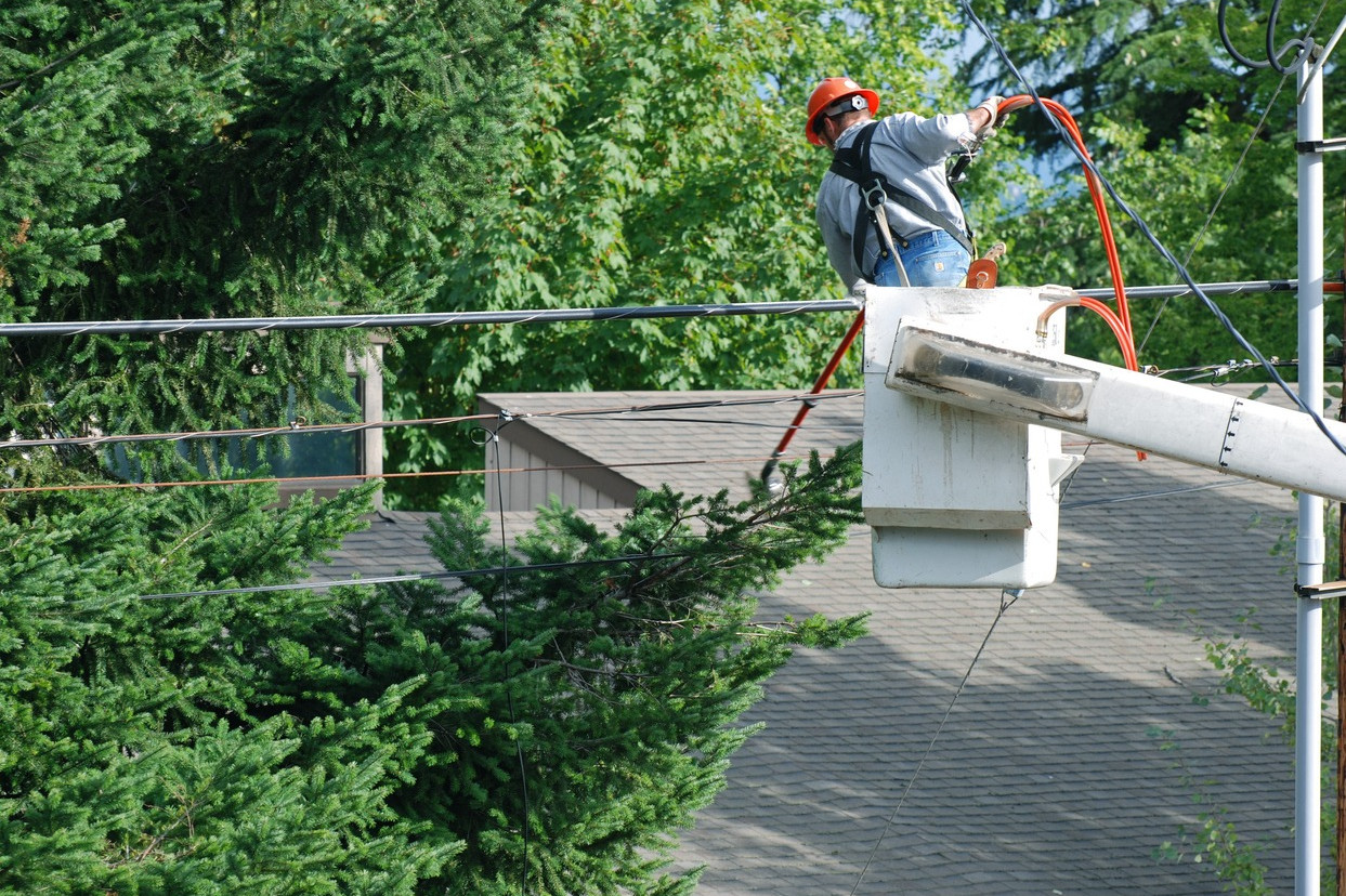
Why Sketching Matters in Vegetation Management
When clearing spans near power lines, decisions must be fast—and grounded in a clear, shared understanding to prevent misinterpretations.
With Smart Sketching, field teams can visually map:

Vegetation overgrowth

Potential hazards and road closures

Specific agreements with landowners
What’s Coming? 🚀
The Smart Sketching upgrade will bring faster workflows, clearer visuals, and better field-to-office communication:
Sketch directly on live maps for geo-accurate context
Access pre-defined sketch elements, automatically drawn from form data (e.g., habitat zones)
Drag and drop elements to mirror real-world conditions
Add annotations to give extra clarity to planners
Attach sketches to reports — no switching tools, no delays
Work offline and sync sketches instantly
The result? Faster approvals, fewer missteps, and total confidence in what’s being planned.
Check how in the video below (hover to play).

Purpose-Built for Real Field Teams 🛠️🙌🌍
This future upgrade reflects feedback from professionals working directly in vegetation management—especially those managing complex surveys for DNOs, highways, and railways.
We designed it for:

Seamless use in rugged terrain and harsh conditions

Speed and precision under pressure

Field-to-office transparency, even across subcontractor teams
Make Smart Decisions, Faster 💡
Whether you’re leading survey operations or overseeing entire vegetation clearance programs, Smart Sketching will help your team communicate what matters—visually, immediately, and with clarity.